Megacities
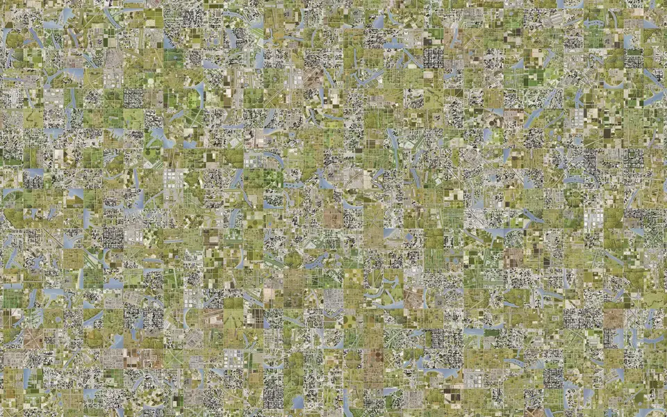
Twelve cities, each three by three square miles, each one token, drawn whole.
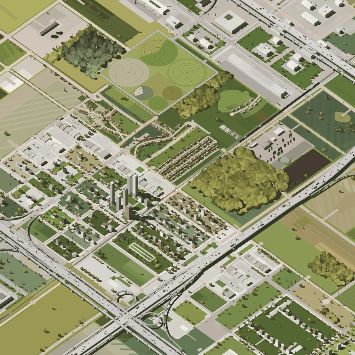
Megacity 3
Pivot circles and farm fields around a small town at a freeway crossing
Auction
- Reserve
- Ξ1.5
- Opens
- 18 November, 1pm ET
Drag to turn, Shift and drag to move, scroll to close in; ← and → for the previous and the next. Every key of a Section works here.Tap the city, then drag to turn it and pinch to close in; ← and → for the previous and the next.
- City
- Farm town, realistic
- Grid
- 3 × 3 miles
- Token
- #48
Twelve cities
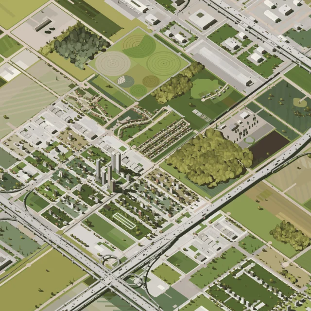
Pivot circles and farm fields around a small town at a freeway crossing
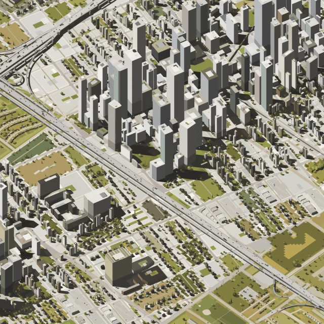
Dense towers along a freeway, a works district and forest at the edges
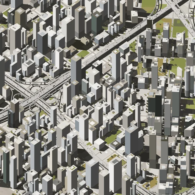
Dense towers round a freeway interchange
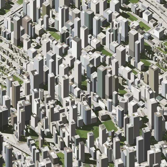
Towers packed close, small green squares between
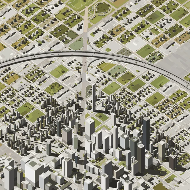
A tower downtown inside a ring road, suburbs beyond
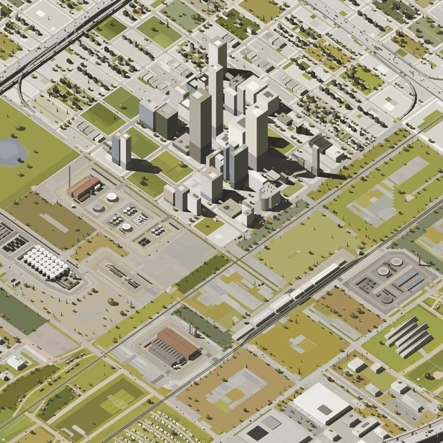
A small tower cluster over works, a power station and a rail line
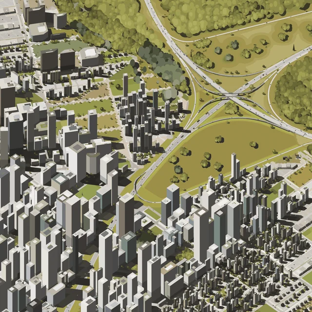
Towers round a freeway interchange set in parkland and woods
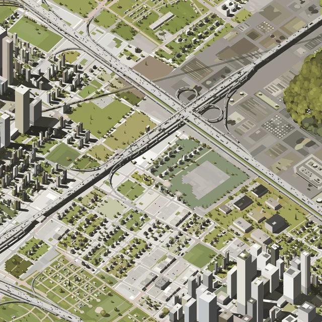
Two tower clusters across a freeway interchange, a wood at the edge
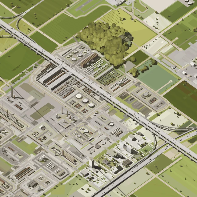
A works along the freeway, farm fields and a wood around it
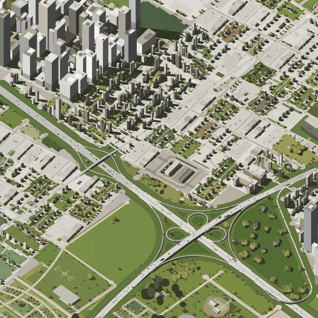
Towers in one corner, suburbs, an interchange in parkland
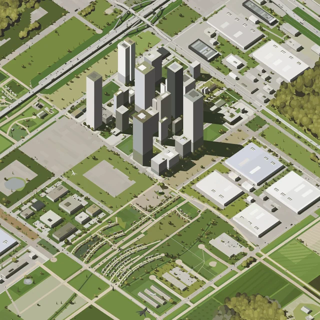
A tower cluster beside rows of data halls, parkland around
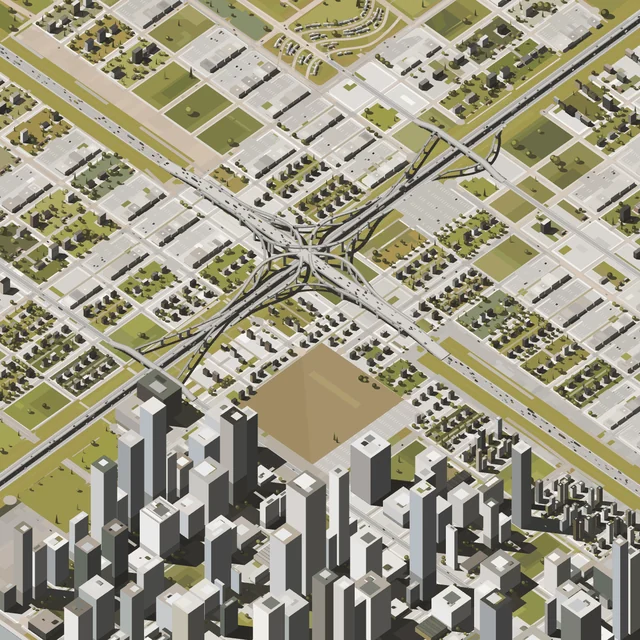
Towers below a freeway interchange, suburbs all round
About the cities
Each of the twelve cities is three by three square miles, drawn from one seed, and each is one token. A token's page is stored on Ethereum with the engine: it builds the city from its seed and draws all nine miles together, with every control a Section has. Drag to turn it, Shift and drag to move it, scroll to close in. 1, 2 and Q give the plan, the elevation and the isometric, P turns it on its table, the arrows turn and tilt it, W A S D move it and 3 and 4 close in, Shift taking larger steps. E is the night, O the traffic, L the line drawing and U the dash cam; Z saves a picture, X one at 16:9, C the drawing as an SVG, and V and B a video. Here, ← and → go to the previous and the next city.
Megacity 4 draws one city across a grid of square miles. It uses the Sections engine, build x146b, which on its own draws a single square mile. A planning layer decides what kind of city the seed makes, lays the downtowns, one street grid and the freeways across the miles, and adds the districts, forests, airports and water. The engine then builds the roads, blocks, buildings and trees.
As in x146b, the ground is flat. The height field is kept only to carve the water, so the geography is lakes, harbour shores and forest masses, and the infrastructure laid across them.