Sections
The subject is the Public Land Survey System, adopted in 1785 to divide the land west of the Ohio River into squares 1 mile on a side. Each square is a section of 640 acres. Land was surveyed and numbered before it was sold, and roads and property lines across much of the United States still follow the grid.
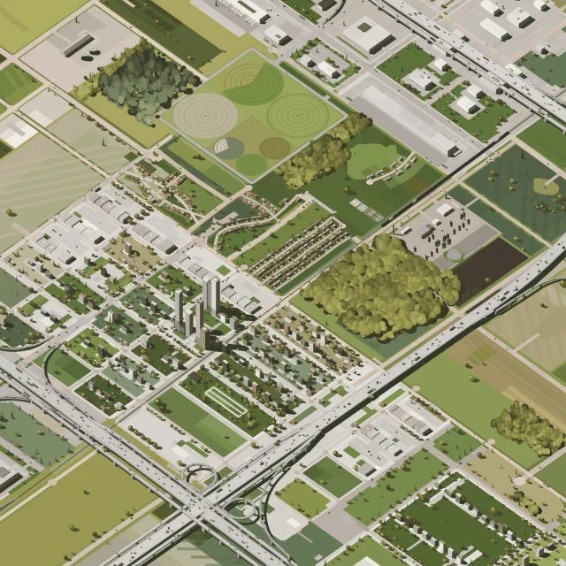
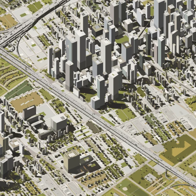
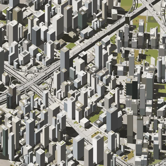
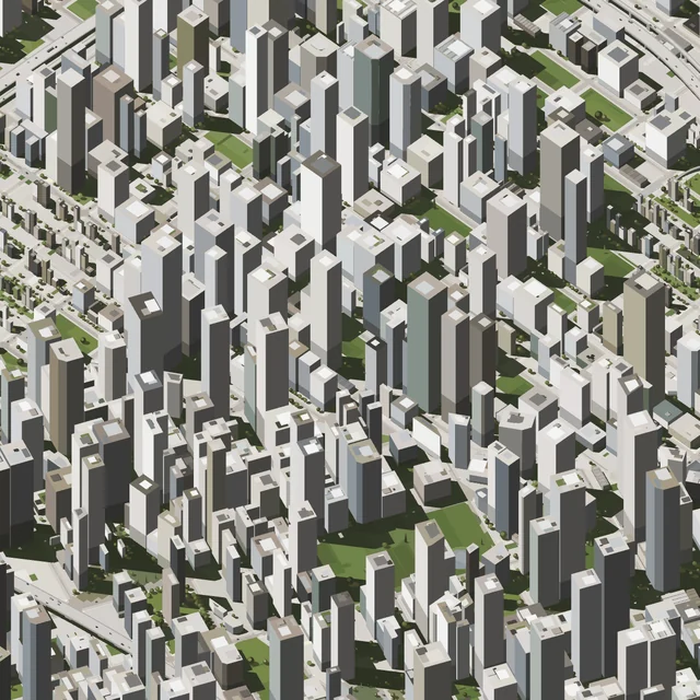
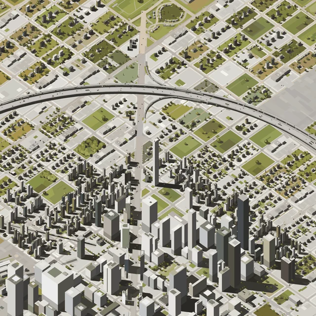
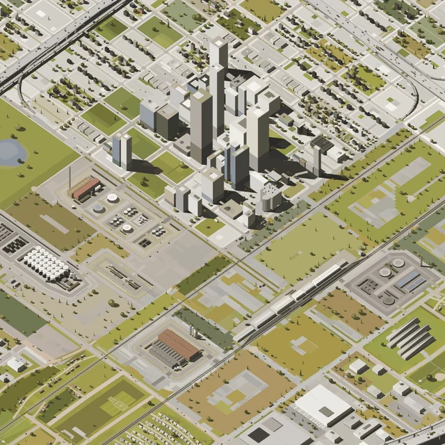
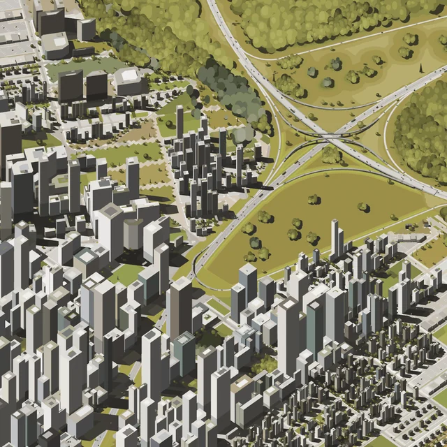
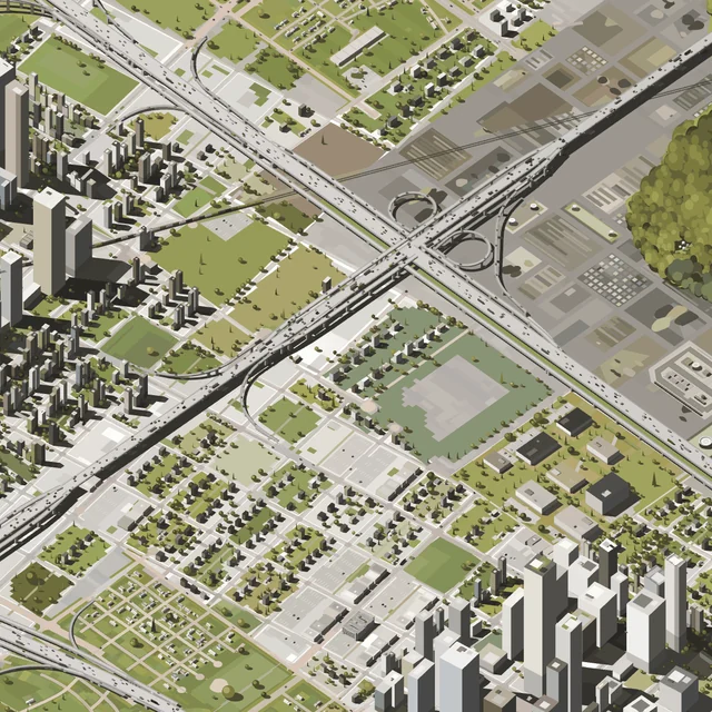
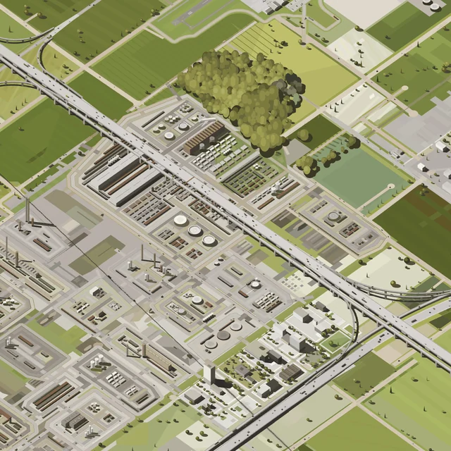
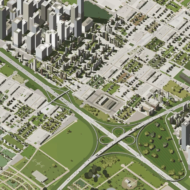
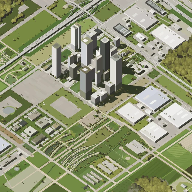
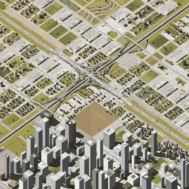
In each work, roads run along the section lines, a mile apart. Between them the code places farmland, centre-pivot fields, grain elevators, street grids, towers, freeways and interchanges. Interchanges are named by type, such as cloverleaf, diamond or stack.
This is our second collaboration with Yun, whose practice continues to occupy a compelling space between documentary observation and fiction. His earlier representations of American life often drew from personal memory, translating familiar places into carefully reduced compositions. Sections, his first long-form generative interactive project, shifts that perspective outward. Rather than reconstructing places he has experienced, Yun constructs a system capable of imagining places that have never existed, yet might seem strangely familiar.
Here, however, the act of representation is not entirely the artist’s to determine. Collectors are invited to explore the generative system and freeze a particular section, choosing not only a landscape but how that landscape will be remembered and represented. Will they favor the abstraction of a line drawing or the apparent realism of a fully rendered environment? Will they observe the city in daylight or at night? From a distant aerial perspective, where buildings and streets become patterns, or from street level, where the city is experienced at a human scale? Will their section remain still, or will simulated traffic introduce the rhythms of movement and everyday life?
These choices raise questions about the subjective nature of representation. What do we prioritize when we look at a city? Does an aerial view suggest order while a pedestrian perspective reveals its contradictions? Does a nighttime image tell a different story about a place than one made in broad daylight? And what does it mean to choose a single image from a system capable of generating countless possibilities?
In Sections, the collector does not simply acquire a representation of America but participates in constructing one. The resulting artwork becomes both a portrait of an imagined place and a reflection of the person who chose how to see it.
Each work lists figures measured from its drawing and converted using US federal data, including road distance, residents, energy and water use, and carbon. Grant Yun selected the 1,300 sections, and all of them can be seen here before the sale.
Sale
Sections is released on OpenSea, in 3 stages from 18 November 2026.
Works
Megacities
Each megacity is 1 city across 9 square miles, drawn by the same code. These 12 are separate works, not part of the 1,300. They are auctioned on Fellowship from 18 November 2026, 10:00 AM PST, for 24 hours.
At auction from 18 November
Grant Yun
Grant Yun, born in California in 1996, draws the ordinary places of American life, offices, supermarkets and roads at dusk, in spare vector line from thousands of his own photographs.
All 1,300 works
Each 1 square mile of American land, drawn live by code. By Grant Yun, 2026.
The list of works did not load.
No works have that land.